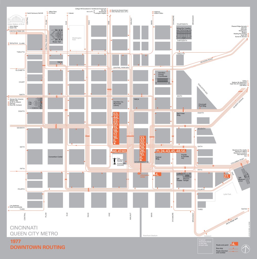
As I like to depict the flow of the different routes within this type of urban grid, here is the schematic map of Queen City Metro bus lines in the CBD of Cincinnati, in 1977.
I’ve tried to do it in the most functional way possible: two colours, few signs, maximum attention paid to the route layouts.
I also took the opportunity to draw some remarkable landmarks within this area.
The Ohio River is to the south of the CBD, separated from it by the I-71 expressway, here at the bottom of the map, as it is oriented to the north, slightly tilted towards the East in order to have the NS and EW ways plumb in the format.